
Page 1 - Cl6-CH-1-WS-1
P. 1
SAI INTERNATIONAL SCHOOL
SUBJECT- GEOGRAPHY
CLASS-VI
CH1-Locating Places on Earth
WORKSHEET-1
1 The __________ shows the relationship between distance on the map and
actual distance on the ground.
2 A compass is used:
(a) To show symbols
(b) To find the main direction
(c) To measure the distance
(d) To scale the map
3 How are maps more helpful than a globe?
4 Maps showing the distribution of forests are called __________ maps.
5 How is a physical map different from a political map?
6 What kind of information does a thematic map provide?
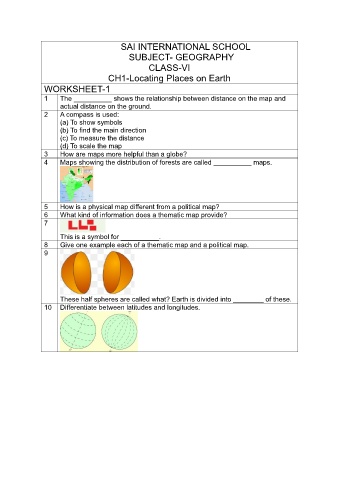
7
This is a symbol for __________.
8 Give one example each of a thematic map and a political map.
9
These half spheres are called what? Earth is divided into ________ of these.
10 Differentiate between latitudes and longitudes.