
Page 1 - CH1-LN-2-Mapping the earth
P. 1
SAI INTERNATIONAL SCHOOL
SUBJECT- GEOGRAPHY
CLASS-VI
CH-1 LOCATING PLACES ON EARTH SUB TOPIC-2-MAPPING THE EARTH
LESSON NOTE
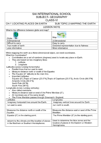
What is the difference between globe and map?
Map
Globe
3-Dimensional 2-Dimensional
Difficult to carry Easy to carry
True model of earth Distorted representation due to flatness
Less informative More informative
While mapping the earth as a three-dimensional object, we need coordinates.
What Are Coordinates?
• Coordinates are a set of numbers (degrees) used to locate any place on Earth.
• They are based on two imaginary lines:
1. Latitude
2. Longitude
Latitudes (Lines running horizontally)
• Parallel lines that run east to west.
• Measure distance north or south of the Equator.
• The Equator (0° latitude) is the main line.
• Important latitudes:
Equator (0°),Tropic of Cancer (23.5°N),Tropic of Capricorn (23.5°S), Arctic Circle (66.5°N)
Antarctic Circle (66.5°S)
North Pole (90°N)
South Pole (90°S)
Longitudes (Lines running vertically)
• Also called meridians.
• Measure distance east or west of the Prime Meridian (0°).
• All meridians are of the same length.
• The Prime Meridian passes through Greenwich, England.
Latitudes Longitudes
Imaginary horizontal lines around the Earth. Imaginary vertical lines around the Earth.
run east to west. run north to south.
Measures the distance north or south of the Measures the distance east or west of the Prime
Equator. Meridian.
Equator (0°) is the starting point. The Prime Meridian (0°) is the starting point.
determine the climate and the location of places Used to determine the time zones and the
in the Northern or Southern Hemispheres. location of places in the Eastern or Western
Hemispheres.